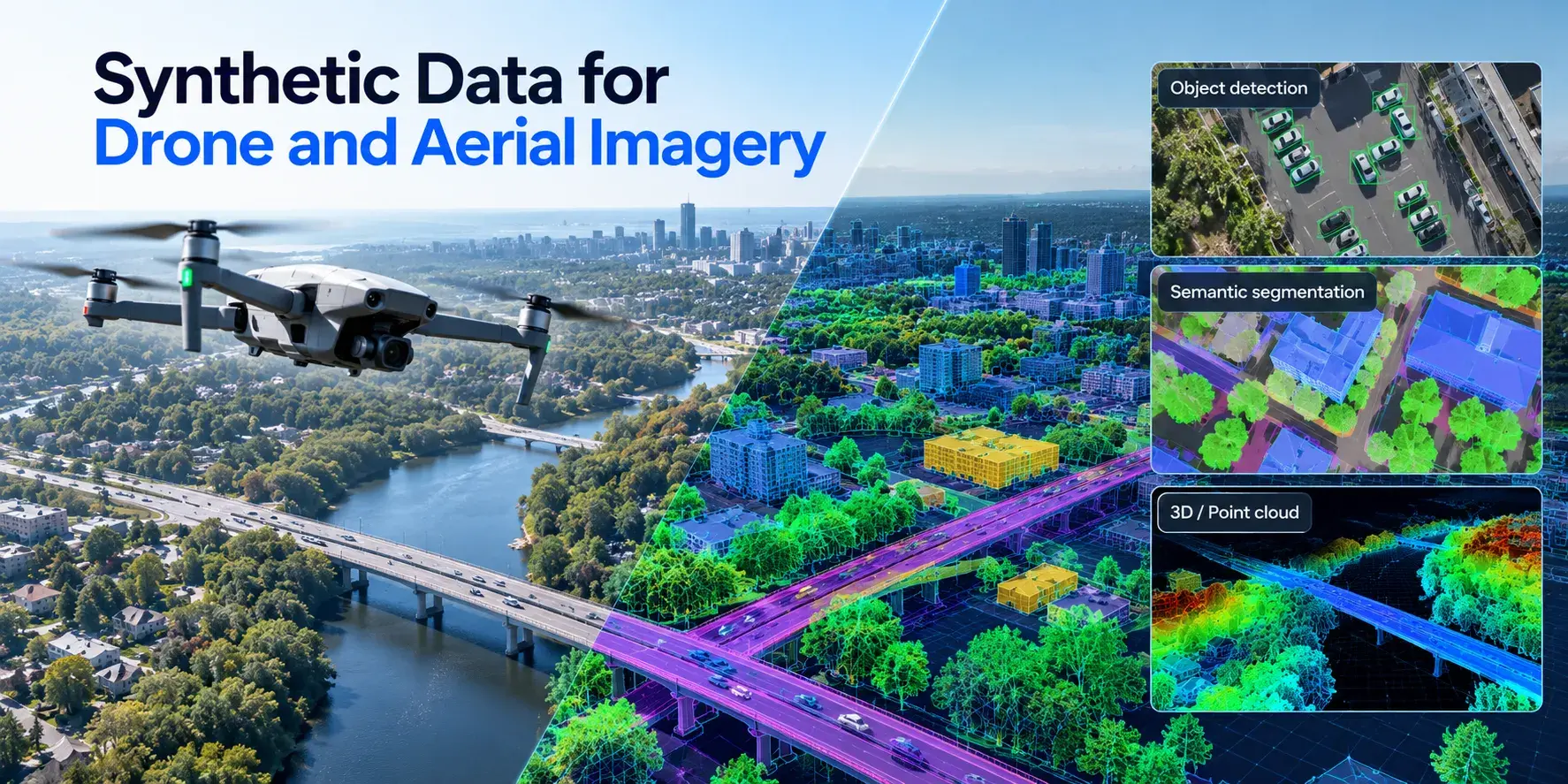
Drone computer vision is the use of AI models to interpret what a drone's cameras see: detecting objects, tracking movement, mapping terrain and avoiding obstacles, often in real time. The applications get most of the attention. The harder problem sits upstream, in the training data, because aerial imagery breaks many of the assumptions that ground-level computer vision models are built on.
This guide covers how computer vision runs on a drone, the main tasks and use cases, why aerial data is difficult, which public datasets teams start with and where synthetic aerial imagery fills the gaps.
How Computer Vision Works on a Drone
The pipeline is simple to describe. A sensor captures the scene, a model processes the frames, and the result feeds a decision: flag a defect, follow a vehicle, change course. Most drones carry an RGB camera. Many add thermal, multispectral or LiDAR sensors, depending on the job.
Where the model runs matters a lot. Onboard processing, on embedded GPUs such as NVIDIA Jetson modules, keeps latency low and works without a network connection, which is essential for navigation and obstacle avoidance. The tradeoff is limited compute, weight and battery, so onboard models are usually smaller and quantized. Cloud or ground-station processing handles heavier models and large volumes of imagery, but only after upload, so it suits survey and inspection work where results can wait.
Many systems split the work. A light model on the drone handles anything time-critical, and a larger model analyzes the full-resolution footage afterwards.
Core Drone Computer Vision Tasks
Object Detection and Tracking
Detection finds and classifies objects in each frame: vehicles, people, livestock, boats, damaged panels. Tracking links those detections across frames so the system knows that the car in frame 200 is the same car as in frame 150. Counting traffic, following a target and monitoring crowds all rely on both.
Mapping and 3D Reconstruction
Photogrammetry turns overlapping aerial photos into orthomosaics, elevation models and 3D meshes. Computer vision adds a semantic layer on top: segmenting roads, buildings, vegetation or crop rows, so the map says what is where, not just what it looks like.
Navigation and Obstacle Avoidance
For autonomous flight, vision supplements or replaces GPS. Visual odometry estimates the drone's movement from camera frames, and depth estimation or stereo vision detects obstacles like wires, branches and walls. This is the task where latency is least forgiving, and almost always runs onboard.
Where Drone Computer Vision Is Used
Agriculture. Models detect crop stress, weeds and pests from RGB and multispectral imagery, count plants or livestock, and guide targeted spraying. The value comes from covering large fields quickly and spotting problems before they're visible from the ground.
Infrastructure inspection. Drones inspect power lines, wind turbines, bridges, pipelines and solar farms. Vision models flag cracks, corrosion, hot spots in thermal imagery and vegetation encroaching on lines. The catch is that defects are rare, so there are few examples to train on.
Security, monitoring and public safety. Perimeter monitoring, search and rescue, wildfire detection and traffic analysis all use detection and tracking from the air. Search and rescue is a good example of the data problem: a person lying in tall grass or under tree cover, seen from 80 meters, is a handful of pixels.
Maritime and coastal work. Drones support vessel detection, port monitoring and environmental surveys over water, where glare, waves and small targets make detection hard. We cover the training data side of this in our article on synthetic data for vessel and boat detection models.
Logistics and delivery. Delivery drones need to recognize landing zones, obstacles and people near the drop point, which combines navigation and detection in one system.
Why Aerial Imagery Is Hard for Computer Vision Models
Most popular detection models and pretrained backbones were developed on ground-level photos, where objects are large, upright and centered. Drone footage breaks almost every one of those assumptions.
Objects are small. From typical flight altitudes, a pedestrian might be 10 to 20 pixels tall, and a car not much bigger. Standard detectors lose accuracy fast at that scale. The scale also keeps changing: the same drone flies at 30 meters for one mission and 120 for the next, and tilts its camera between straight down and oblique angles. A model trained at one altitude often fails at another.
The viewpoint is unfamiliar. Seen from above, a person is a head and shoulders, a car is a rectangle and a boat is a shape on a textured surface. Features learned from side views barely transfer.
Conditions vary constantly. Motion blur from wind and fast flight, haze, low sun, shadows that change shape through the day, wet roads, snow. Each one shifts the appearance of the scene, and most collected datasets cover only a slice of them.
And the events that matter are rare. A damaged insulator, a person in distress, an intruder at night. Real collection produces thousands of hours of normal footage for every few minutes of the cases the model exists to catch. Our guide on generating edge cases for computer vision models goes deeper into this problem.
Public Drone and Aerial Imagery Datasets
Most teams start with public datasets to benchmark models and pretrain before fine-tuning on their own footage. A few are used far more than the rest.
| Dataset | What it contains | Main tasks | Limitations |
|---|
| VisDrone | 288 video clips (261,908 frames) and 10,209 static images, over 2.6 million boxes | Detection, single and multi-object tracking, crowd counting | Collected in China only; a fixed set of 10 object categories |
| UAVDT | 100 video sequences, about 80,000 annotated frames of vehicles in urban areas | Vehicle detection and tracking | Vehicles only; urban roads |
| Stanford Drone Dataset | Top-down videos of the Stanford campus with pedestrians, bicyclists, skateboarders, cars, buses and golf carts | Tracking and trajectory prediction | One campus, fixed top-down view, good weather |
| DOTA | Aerial images from multiple sensors and platforms, 15 to 18 categories depending on the version | Detection with oriented bounding boxes | Mostly high-altitude imagery, not low-altitude drone views |
VisDrone, collected by the AISKYEYE team, is the closest thing to a standard benchmark for drone detection. UAVDT is useful because it labels attributes such as weather, flight altitude and camera view, which lets you test how a model holds up as conditions change.
The common gap across all of them is coverage. They were built for general benchmarks, so they rarely include your object classes, your altitude range, your sensor or the rare events your system has to detect. That's where most production teams hit a wall.
Where Synthetic Aerial Data Fits
Synthetic aerial data is imagery rendered from 3D scenes instead of captured by a real drone. Because the scene is built in software, every parameter that makes real collection hard becomes a setting.
Altitude and camera angle can be swept across the full flight envelope, from low oblique views to straight down. Weather, time of day and season change with a parameter instead of waiting months for the right conditions. Rare events, like a specific defect type, a person in an unusual pose or a vehicle in a restricted zone, can be generated as often as the model needs. And labels come from the scene itself: every bounding box, segmentation mask and depth value is exact, with no manual annotation of tiny objects.
Sensor variety matters too. The same scene can be rendered as RGB, thermal-style or depth output, so teams can test sensor choices before buying hardware. For radar specifically, the challenges are different, and we cover them separately in synthetic SAR data for computer vision training.
Synthetic data has limits. Rendered scenes can look too clean, and models trained only on synthetic imagery often lose accuracy on real footage. The gap is manageable, but it has to be measured.
Combining Synthetic and Real Drone Imagery
The setup that works for most teams is a mix. Synthetic data supplies volume, controlled variation and rare cases. A smaller set of real drone footage anchors the model to what the actual camera produces: its noise, its color response, its compression artifacts.
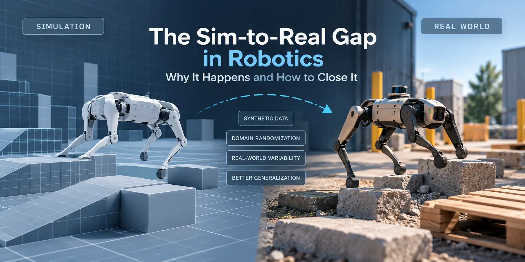
In practice that means three things. Keep a fixed real test set from your actual flights, and measure every model against it. Use synthetic data to cover the conditions your real set lacks, rather than duplicating what you already have. And fine-tune or co-train on real samples to close the remaining gap. The general method is the same one used in robotics, which we describe in our guide to the sim-to-real gap.
Vivid 3D builds synthetic datasets for computer vision from controlled 3D scenes, including aerial and maritime environments, with variation in altitude, viewpoint, lighting and weather and annotations generated automatically. See how it works on our synthetic data for computer vision page.
Drone computer vision has moved past the question of whether it works. The teams that ship reliable systems are the ones that treat aerial training data as a problem to engineer, not just collect.
Frequently Asked Questions
What is computer vision in drones?
It is the use of AI models to interpret images and video from a drone's cameras. Common tasks include detecting and tracking objects, mapping and segmenting terrain, and estimating depth for navigation and obstacle avoidance.
Can drones run computer vision models onboard?
Yes. Embedded GPUs let drones run detection and navigation models in real time without a network connection. Onboard models are usually smaller and optimized for speed, while heavier analysis of full-resolution footage often happens later on a ground station or in the cloud.
What datasets are used to train drone object detection?
VisDrone and UAVDT are the most common starting points for low-altitude drone imagery, and the Stanford Drone Dataset is widely used for tracking. DOTA covers higher-altitude aerial images with oriented bounding boxes. Most production systems add their own footage and often synthetic data on top.
Can synthetic data replace real drone footage?
Not completely. Synthetic data is strongest for volume, controlled variation and rare events, but models trained only on rendered imagery usually lose some accuracy on real footage. Combining synthetic data with a smaller set of real images, and testing on real flights, gives the most reliable results.